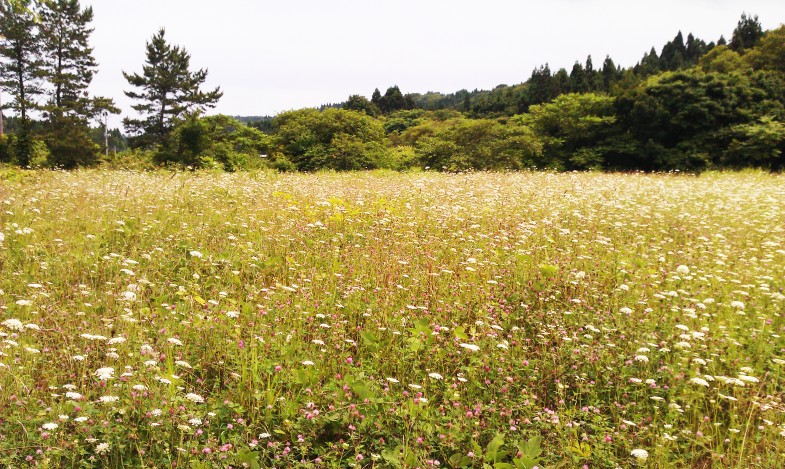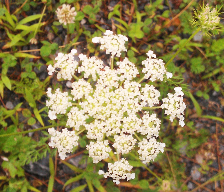
"Danau Dune Pasir" berarti bahwa pantai berpasir menciptakan undulasi karena angin dan faktor -faktor lainnya.、Ini adalah rawa air tawar yang secara alami dibentuk oleh sungai yang mengalir ke dalam depresi (seperti sagata, prefektur niigata).。Arus dan gelombang laut menyebabkan pasir naik seperti bank dan menghalangi pintu keluar、Ini juga berbeda dari danau payau seperti Danau Saroma dan Hachirogata.)。Danau Dune Pasir itu sendiri adalah makhluk yang berharga yang hilang di seluruh dunia.、Itu menciptakan lingkungan yang berharga secara biologis。
Sand dune lake is a natural freshwater pond in a sandhill. It was shaped by wind. The wind had been carring sand and formed ups and downs, and then water stream into hollow places. It is not only very valuable existence itself in the world but also it gives important environment for biodeversity that’s being lost.
Di desa Higashidori、Ada banyak "danau gundukan" besar dan kecil (ada 13 nama rawa saja)。Desa Higashidori, bukit pasir hutan monyet dan lahan basah telah dipilih sebagai salah satu dari 500 lahan basah penting Jepang (dapat dikatakan bahwa sebagian besar semenanjung Shimokita telah menerima pilihan ini).。Monyet ini adalah bukit pasir hutan (lebar 1-2 km)、Bukit pasir shimokita, yang menggabungkan panjang total 17 km) dan bukit pasir yang telah masuk ke pedalaman, adalah、Ini jarang diketahui, tetapi sebenarnya gundukan pasir terbesar di Jepang.。Alasannya tidak diketahui、Hutan tahan angin dan tahan pasir mengelilingi bukit pasir.、Sulit untuk dilihat orang、Sebagian besar Kementerian Pertahanan dan yang lainnya menggunakannya di lokasi pengujian balistik.、Karena masuk dilarang。
There are many dune lakes in Higashi-dori village. Named lakes are minimum 13s. Salugamori sandhill (1~2 km width, 17 km length) include the rear wetland in this village has selected one of 500 of the important wetland of Japan (Actually most of Shimokita peninsula is selected also). Additionaly, Shimokita sandhill (includ this Salugamori sandhill with the next ones) is really the biggest one in Japan. However almost all japanese don’t know of it. One of the reason is that this place is hidden from the roads by pine grove for protect the wind and the sand. The other one, here is off limited, because this ares has been useing for test site of trajectory of Ministry of Defence (MD).
Danau bukit pasir ini sendiri berada di luar wilayah Kementerian Pertahanan.、Beberapa di antaranya tampaknya juga digunakan untuk tujuan memancing.。Namun, hutan pinus yang digunakan untuk perlindungan angin dan pasir juga bertambah luas.、Banyak jalan menuju rawa menghilang.。Penurunan populasi dan penuaan juga terus berlanjut di sini.、Tidak ada penelitian akademis yang sedang dilakukan.。
These are out of the area of MD. A few lakes of it look as useing fishery sometimes but not often. Most of the roads to go there is being lost by growing thickly weeds and pine grove. Creasing depopulation and ageing there. Academic reserch stopped now.
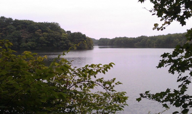
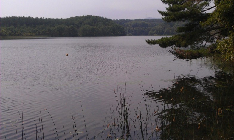
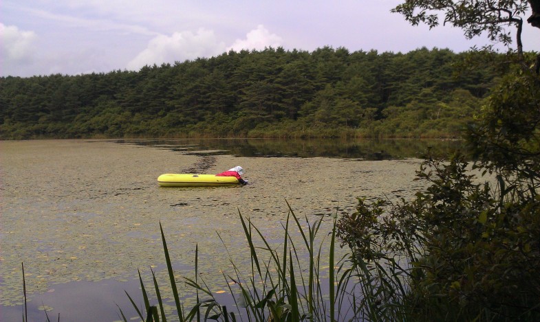
Foto dari atas ke bawah (diurutkan dari utara ke selatan)、Onuma、Rawa Sakyo、Aranuma。Ukuran dan kedalamannya sedikit berbeda, tetapi semuanya dalam keadaan alami.。Onuma adalah udang besar、Sakyo-numa terkenal dengan Aegagropila Linnaei.、Apa yang terjadi sekarang karena belum ada penelitian yang dilakukan?。Aranuma memiliki kedalaman 1-2m.、Brasenia schreberi sedang dipanen.。
Photo:(above) O-numa. Small river prawn lives in. (midlle) Sakyo-numa. Sakyo-numa is famous for “Hime-malimo” (small moss ball), but how is it now? (bottom) An old woman was picking “Jun-sai” (the water shield) from the water at lake Ala-numa. ※numa means lake or pond. All of dune lakes are Nature.
